Request for proposal

Runway Inspection

Geophisical Survey

Runway Inspection

On airport operation and implementation of reconstruction and repairs of runways there appears a number of questions concerning the structure and state of constructional layers of runways, detects and heterogeneity in hard coating and lower coating.

Application of current geophysical technologies, notably newest instruments, respective methods and software of our developers and involvement of drilling data makes it possible to acquire reliable decision to the assigned tasks.

GEOTECH has the unique experience of providing engineering geophysical surveys in road control analysis and in designing and construction of new routes. On conducting of surveys it is used domestic manufacture technique which makes it possible to conduct works at a rate up to 80 kilometers per hour.

APPLICATIONS

  • Engineering geological surveys for airports and runways
  • Determining thickness of structural layers of runways and taxi channels
  • Detection of nonsolid and watered zones
  • Study of reinforcement features of concrete pavement slabs
  • Study of engineering geological conditions of the zones liable to deformation:
    • determining occurence level of subsoil waters and upgrade water existence
    • mapping of bedrock foundation roof
    • locating zones of specific subsoil spread (peat, silt, salt subsoil etc.)
    • permafrost top tracing
    • detection of heavy icy rocks
    • examination of taliks, supercooled water brines with permafrost
    • examination of permafrost dynamics (seasonal freezing zones)

Mapping of underground utility lines

Study of dangerous engineering geological processes:

  • landslides
  • floating earth
  • karstic phenomena

Study of engineering geological environment of zones adjacent to airports

Checking runway pavement compliance with project documentation

Related Products

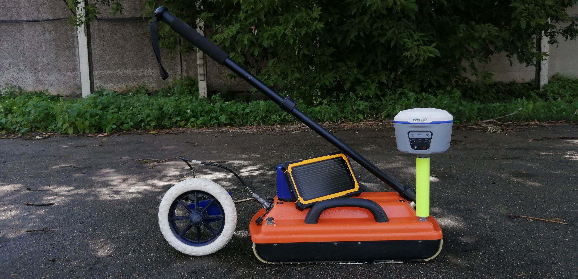
  • This GPR system is designed to determine the depth and position of utilities such as pipes, cables, reservoirs and drainage systems in a variety of soils at different depths. The GeoCart 2D software allows its user to see all information displayed in Google Earth.


    $1,000.00 Add to Quote
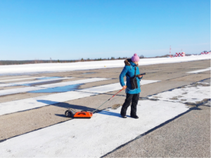
  • Construction Scan 1700 is a portable all-in-one GPR solution designed to automatically determine the location of defects in a wide variety of wooden, brick and reinforced concrete structures, at a depth of 1 m.


    $1,000.00 Add to Quote
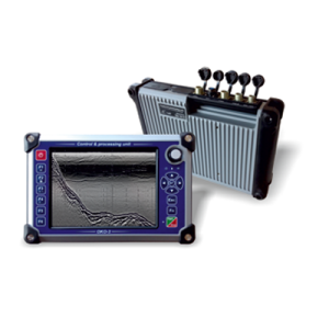
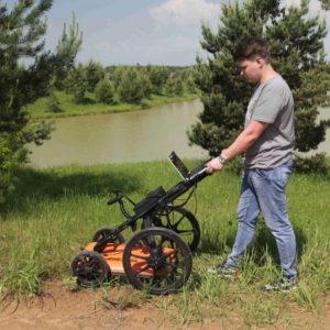
  • The OKO-3 GPR is a portable lightweight low-cost system designed for non-destructive environmental monitoring. The OKO-3 GPR includes a control processing unit and antennae. All antennae are interchangeable and meet the needs of a broad range of applications.


    $1,000.00 Add to Quote
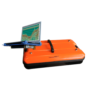
  • Ground Penetrating Radar OKO‐3 is a portable, lightweight and low-cost system designed for non‐destructive environmental monitoring.


    $1,000.00 Add to Quote
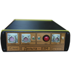
  • The Delta Seismic Recorder is designed to detect seismic signals from external (natural and artificial) seismic vibrations. This is a fixed seismic station with the possibility of data logging to a removable large‐capacity flash drive, and data transmission to a PC for real‐time analysis and recording.


    $1,000.00 Add to Quote

Subscribe