Features
- Scanning with data saved to GPR format file
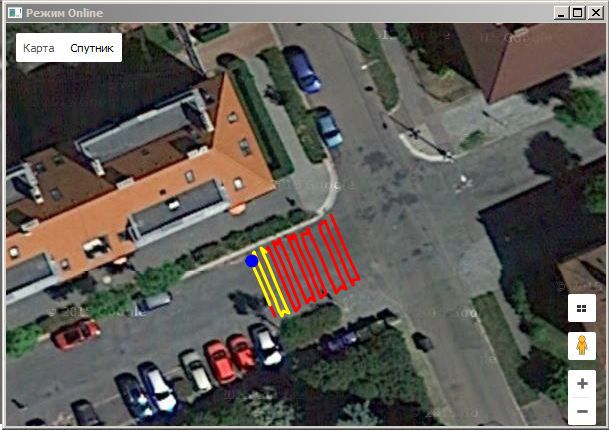
- Displaying the current position on map
- Calibration of the two-wheel trolley geometry parameter
- Storage sound marks
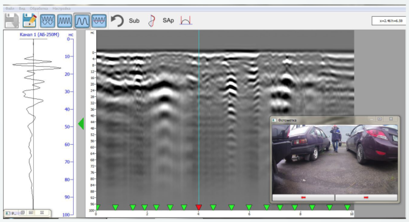
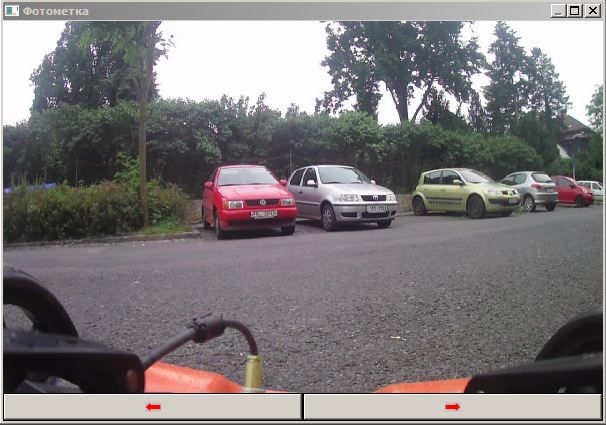
- Storage photo marks
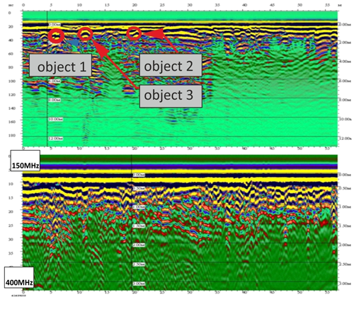
- Viewing collected files in two channel mode, viewing each channel separately
- Viewing driving path on the map during the collected files preview
- Viewing photo marks while looking through collected files
- Creating a 3D profile
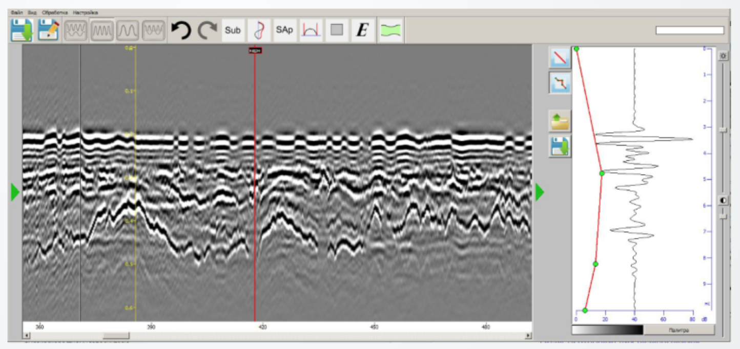
- Data processing during the collected files preview
The software features include:
- Scanning;
- Options;
- Data processing;
- Map loading;
- Track editor.
Scanning (active when the antenna and geo location unit (GLU) are connected – work begins in scan mode). If operation without GLU is selected in the settings, the button will be active when only the antenna is available.
Options – software setting parameters change.
Data processing – operation with the data file, obtained when working in the scanning mode.
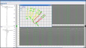
Track editor – editing shape and location of the tracks (movement trajectory) obtained by scanning, and which will be included in the file.
Exit – shutting down work with the software package.
Loading map (active only when an Internet connection is available) – download maps to the clipboard allows using without an Internet connection.
Possibilities of the Cartscan software package
- Designed for GPR surveys using several antenna units
- Compatible with all types of motion sensors and GPS-Glonass receiver
- Displaying the movement trajectory on the map and plan
- Option of scanning in dual-channel mode, viewing each channel separately, viewing a combined radargram
- Editing the trajectory obtained during scanning
- Building a three-dimensional model based on the received data
- Possibility of processing received GPR profiles
- Algorithm for automated layer picking and detection of high-energy zones
- Attribution analysis processing module
- Scanning module version for Android-based mobile devices (when using OKO-3)
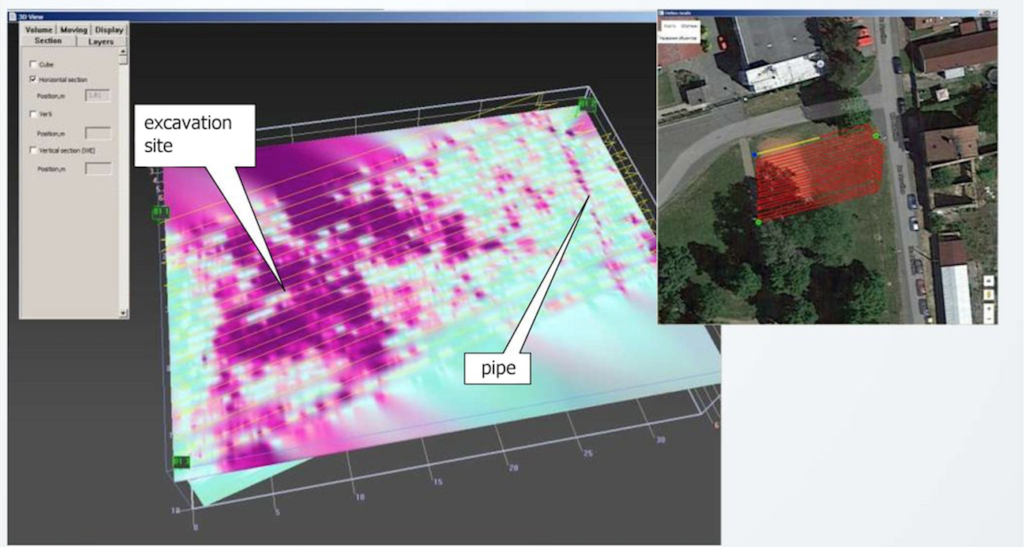
The special software allows the user to visualize 3D data and view utility network information in Google Earth. The CartScan Software is WindowsTM based.
CartScan 2D Software Download